Ngala Hill
PGE, Cu, Ni
Project Overview
Granted EL, Area: 16.4km2
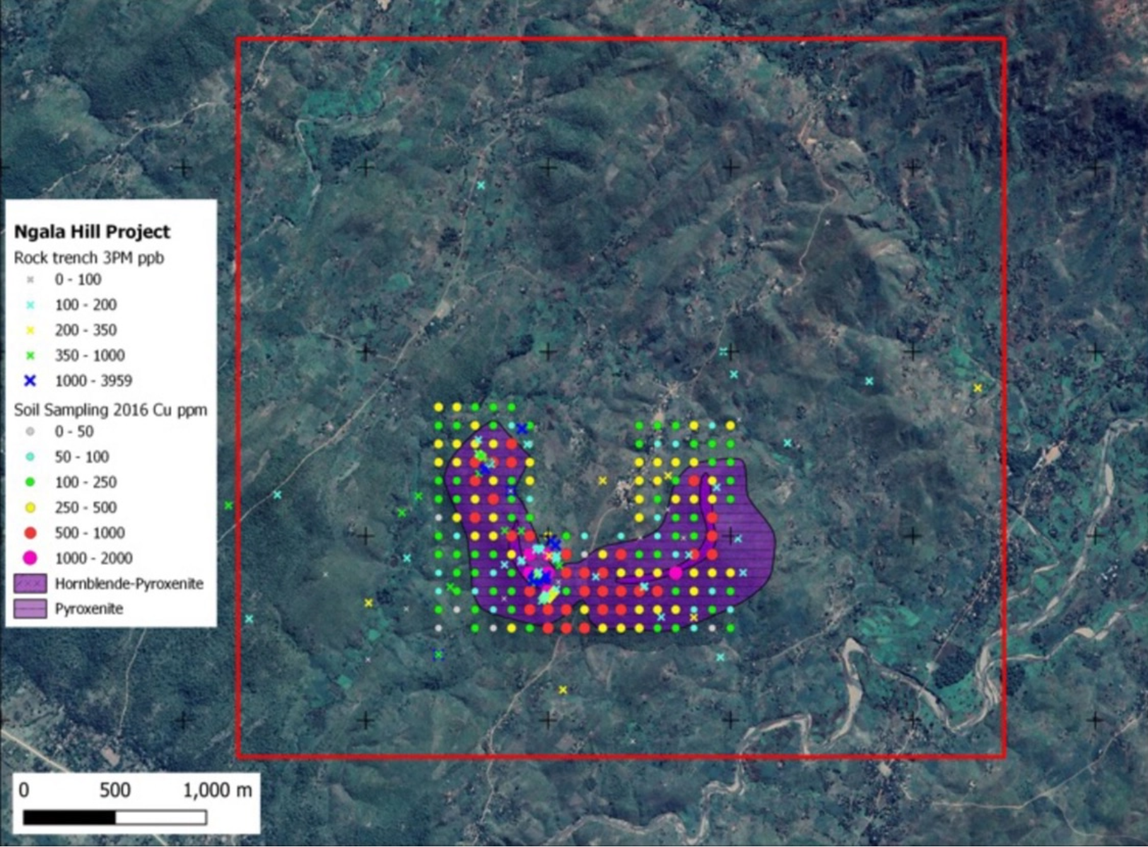
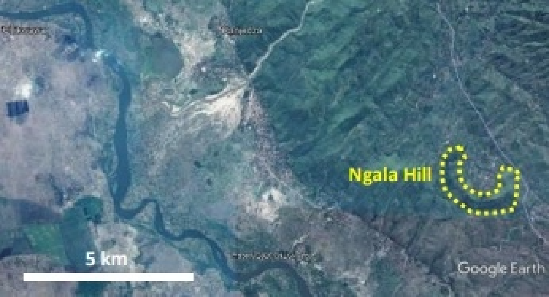
The Ngala Hill ultramafic chonolith was intruded into the underlying Proterozoic Basement Complex quartz feldspar-amphibole gneisses and is cut by Karoo-age dolerite dykes. Ngala Hill lies just east of the Thyolo Fault, a rift-related normal fault which forms the eastern scarp of the Lower Shire Valley. The Ngala Hill Project is characterised by an intrusive ultramafic suite of pyroxenites and hornblende-pyroxenites that intrude basement gneisses. The Ngala Hill chonolith body crops-out as an arcuate-shaped intrusion with dimensions of approximately 2.4 km x 0.7 km.
The mineralisation at Ngala Hill is interpreted as a magmatic intrusion with hydrothermal overprint. The aeromagnetic data show a significant magnetic high associated with the zone of mineralisation. The magnetic anomaly extends for several kilometres beyond the outcrop. The strong aeromagnetic anomaly associated with Ngala Hill points to an oxidised intrusive at depth as the driving force behind the skarnification process.
- Outcropping ultramafic chonolith with widespread Pd-Pt-Au-Cu mineralisation that is palladium-rich
- No significant modern exploration including no electromagnetics (EM) to target higher-grade massive sulphides ever undertaken
- 3 zones of palladium rich Pd+Pt+Au+Cu mineralisation have been identified
- In 2000, Phelps Dodge confirmed further anomalies with encouraging results received from several trenches, including:
- 12 m at 3 g/t PGE+Au
- 70 m at 1.12 g/t PGE+Au, including 8 m at 3.3 g/t PGE+Au
- The main mineralised zone has only had limited drilling. Previous drilling by Phelps Dodge returned results of up to 8g/t Pd+Pt+Au
- Massive sulphides identified in outcrop with rock chip grades up to 4g/t Pd+Pt+Au and 0.7% Cu in saprolite or saprock. Significant potential for increased PGE grade in fresh rock (i.e., Julimar deposit)
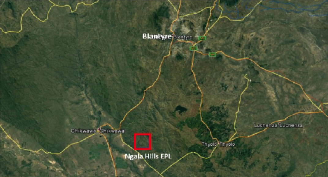
- Proximal to the Nacala rail/ port corridor and grid power


